Log in
All resources
Create a design
Tools
308,624 Free Images of Pages With Maps
cc-zero
phanigiri
sannati
architecture
water
photos imported with import-500px
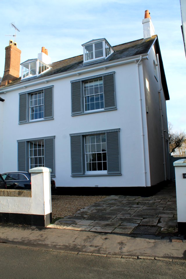
the strand, topsham
amtsgericht (wismar)
village
roof
self-published work
pages with maps
self-published work
pages with maps
self-published work
pages with maps
self-published work
pages with maps
self-published work
pages with maps
self-published work
pages with maps
self-published work
pages with maps
self-published work
pages with maps
self-published work
pages with maps
self-published work
pages with maps
self-published work
pages with maps
self-published work
pages with maps
self-published work
pages with maps
self-published work
pages with maps
self-published work
pages with maps
self-published work
pages with maps
self-published work
pages with maps
self-published work
pages with maps
self-published work
pages with maps
self-published work
pages with maps
self-published work
pages with maps
self-published work
pages with maps
self-published work
pages with maps
self-published work
pages with maps
self-published work
architecture
self-published work
architecture
self-published work
architecture
self-published work
architecture
self-published work
architecture
self-published work
pages with maps
pages with maps
cc-zero
self-published work
architecture
architecture
village
self-published work
pages with maps
self-published work
architecture
self-published work
sidewalk
self-published work
pages with maps
self-published work
animals
pages with maps
town
architecture
roof
landscape
green
self-published work
pages with maps
self-published work
pages with maps
self-published work
pages with maps
self-published work
water
self-published work
pages with maps
self-published work
pages with maps
village
roof
self-published work
water
self-published work
water
self-published work
architecture
self-published work
tree
self-published work
pages with maps
self-published work
pages with maps
self-published work
pages with maps
self-published work
red
self-published work
pages with maps
self-published work
water
self-published work
city
pages with maps
greiz
self-published work
pages with maps
self-published work
pages with maps
self-published work
pages with maps
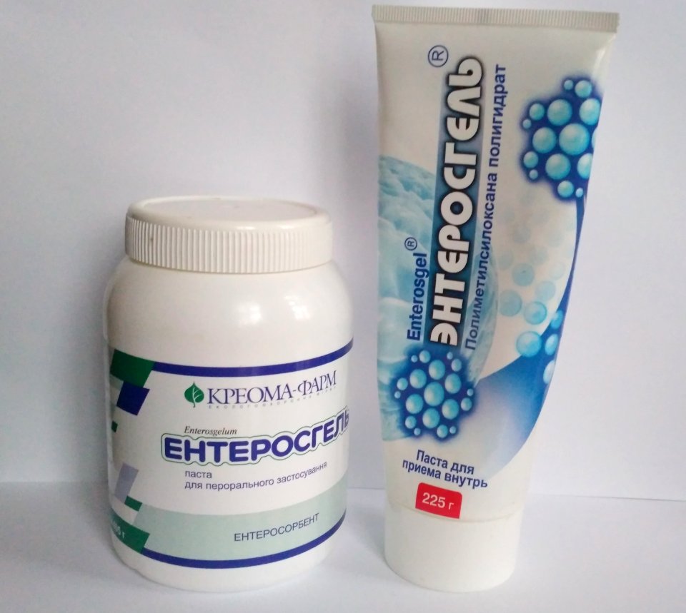
detoxification
food
self-published work
pages with maps
self-published work
pages with maps
self-published work
pages with maps
self-published work
pages with maps
self-published work
card
self-published work
pages with maps
pages with maps
kazan
self-published work
pages with maps
self-published work
pages with maps
self-published work
pages with maps
leonurus cardiaca
herbal
self-published work
kefir
uploaded with vicuñauploader
pages with maps
self-published work
pages with maps
self-published work
pages with maps
self-published work
pages with maps
self-published work
pages with maps
self-published work
pages with maps
self-published work
pages with maps
self-published work
pages with maps
self-published work
pages with maps
self-published work
pages with maps
self-published work
pages with maps
self-published work
pages with maps
self-published work
pages with maps
self-published work
pages with maps
self-published work
pages with maps
self-published work
pages with maps
self-published work
pages with maps
self-published work
pages with maps
self-published work
pages with maps
self-published work
pages with maps
self-published work
pages with maps
self-published work
pages with maps
self-published work
pages with maps
self-published work
pages with maps
5701 - 5800 of 308,624
Next page
/ 3087